Parkway Access NY
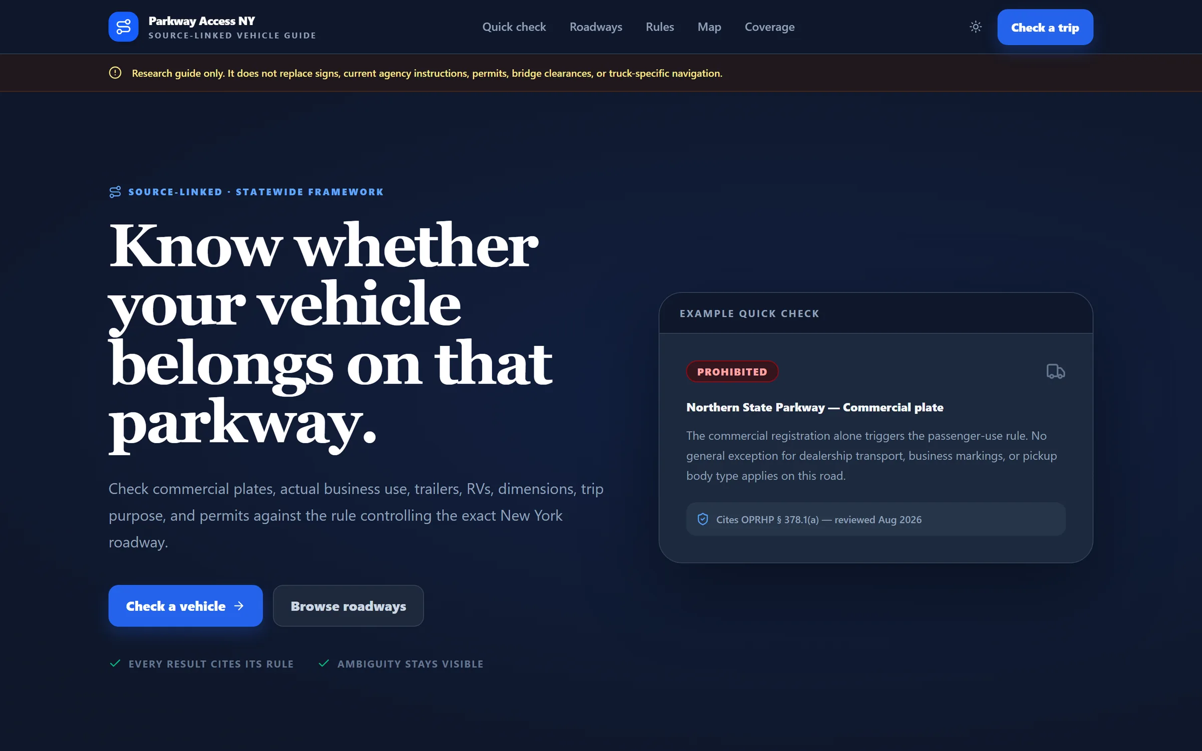
Can this vehicle legally drive that parkway? A source-linked rule engine for New York's regulated parkways.
- Client
- In-house product
- Role
- Legal research, rule engine, design
- Year
- 2026
- Status
- Live
The brief
Why it needed to exist.
Drivers, fleet operators, and dealers get conflicting answers about which vehicles can use which parkways — and the consequences run from tickets to bridge strikes.
The production
What we built.
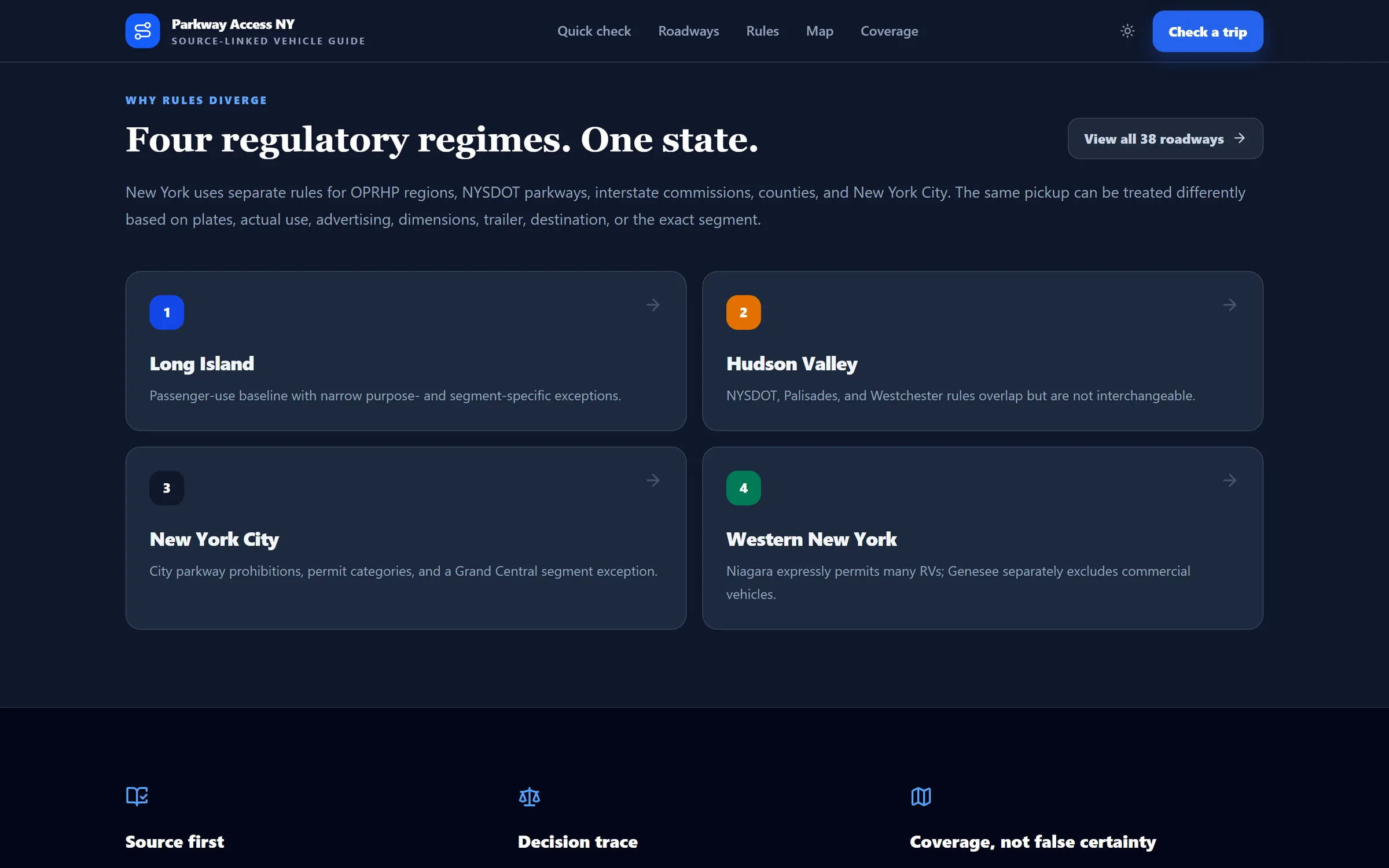
New York's parkway restrictions are split across state parks, NYSDOT, the Palisades commission, Westchester County, and New York City — each with its own rules for commercial plates, trailers, RVs, and pickups.
Parkway Access NY asks about the vehicle and the trip, applies the rule of the authority that controls that exact roadway, and returns a traceable decision with direct links to the official text.
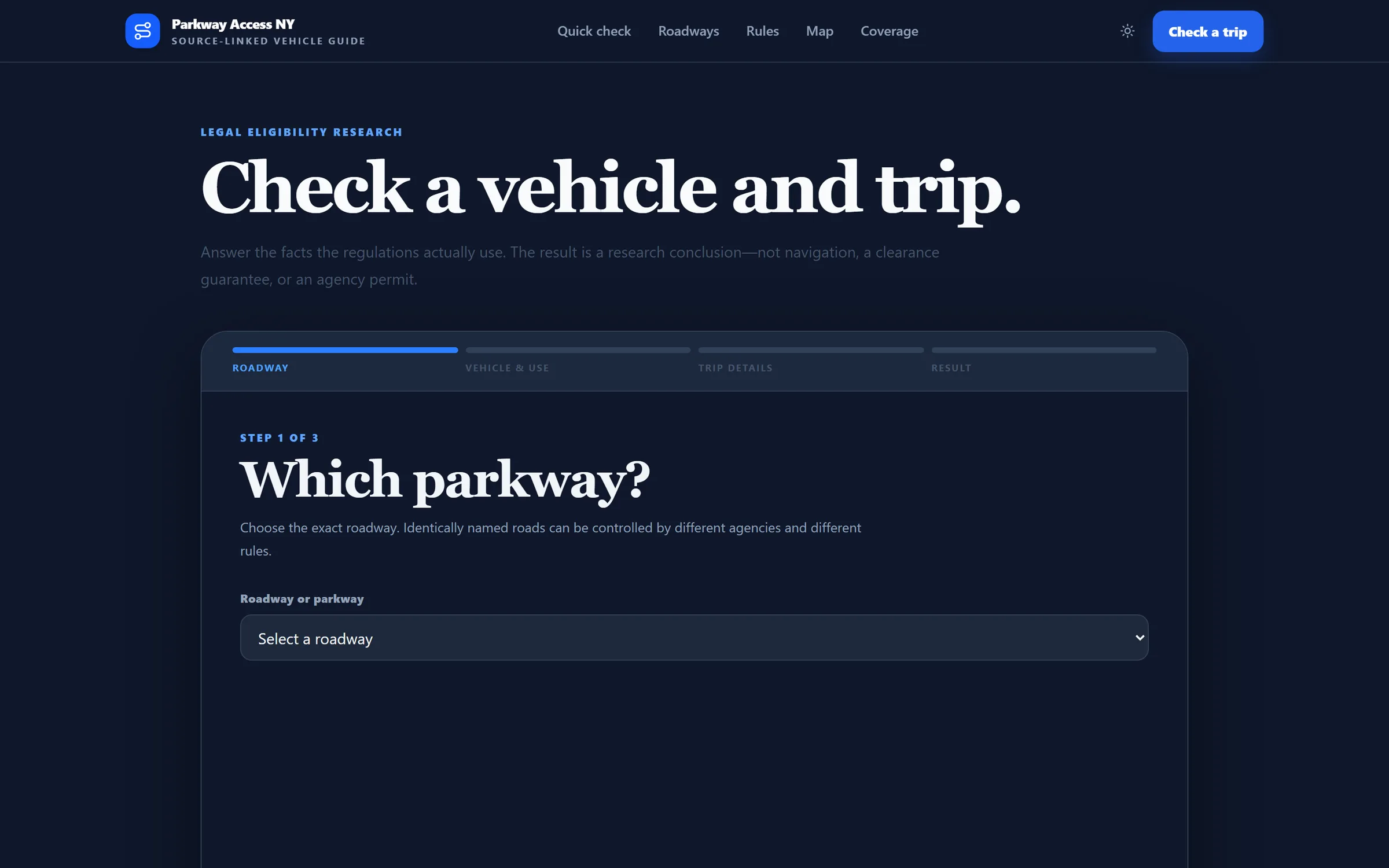
01Three-step Quick Check
Registration class, actual use, body type, trailer, markings, dimensions, passengers, purpose, and permits.
02Six outcomes
Allowed, prohibited, conditional, permit required, official confirmation required, or insufficient information.
03A visible decision trace
The baseline rule, the exceptions tested, the facts still missing, and a link to every source.
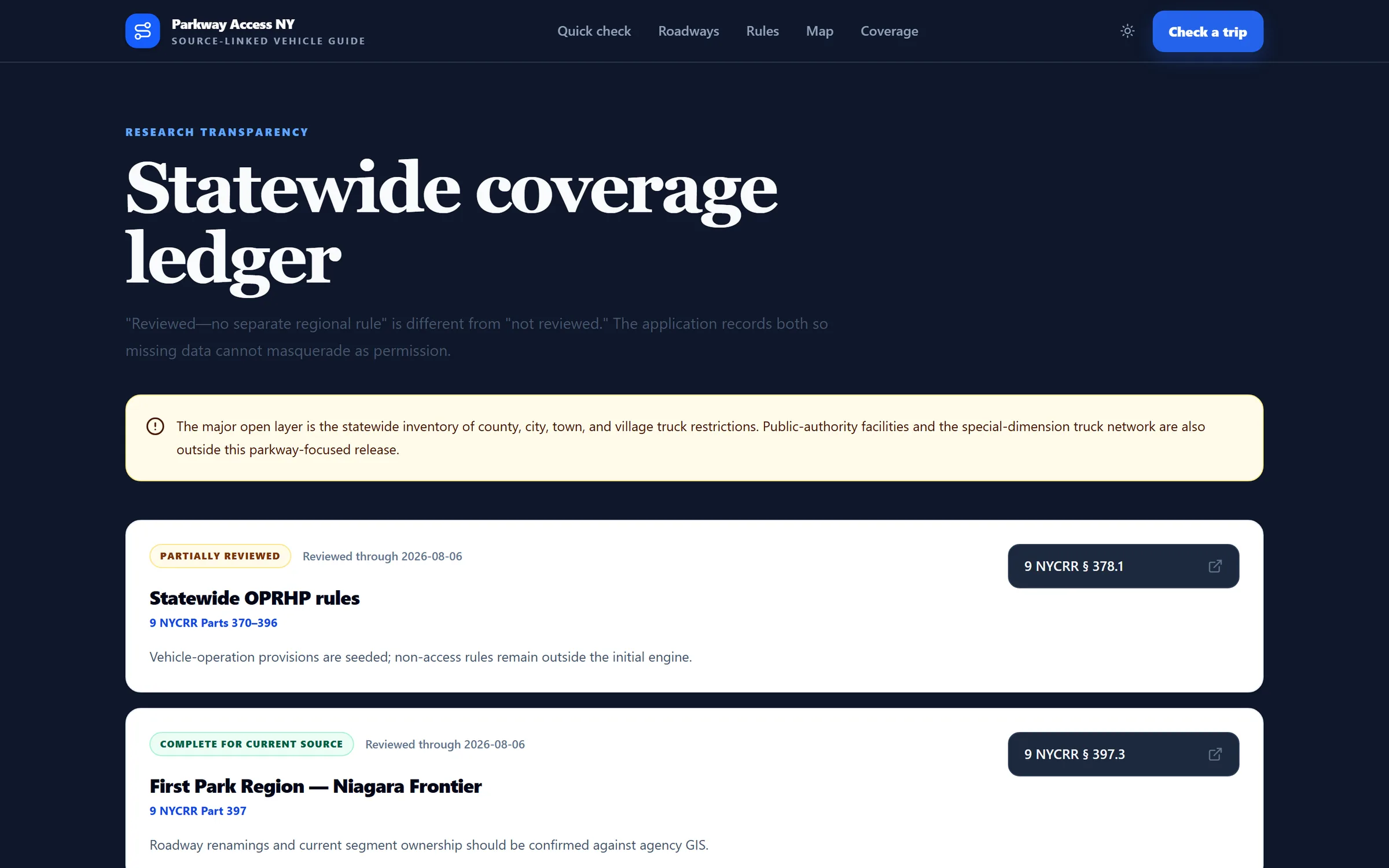
04Coverage you can audit
A statewide ledger separates “reviewed, no rule applies” from “not reviewed.” Unreviewed roads never default to allowed.
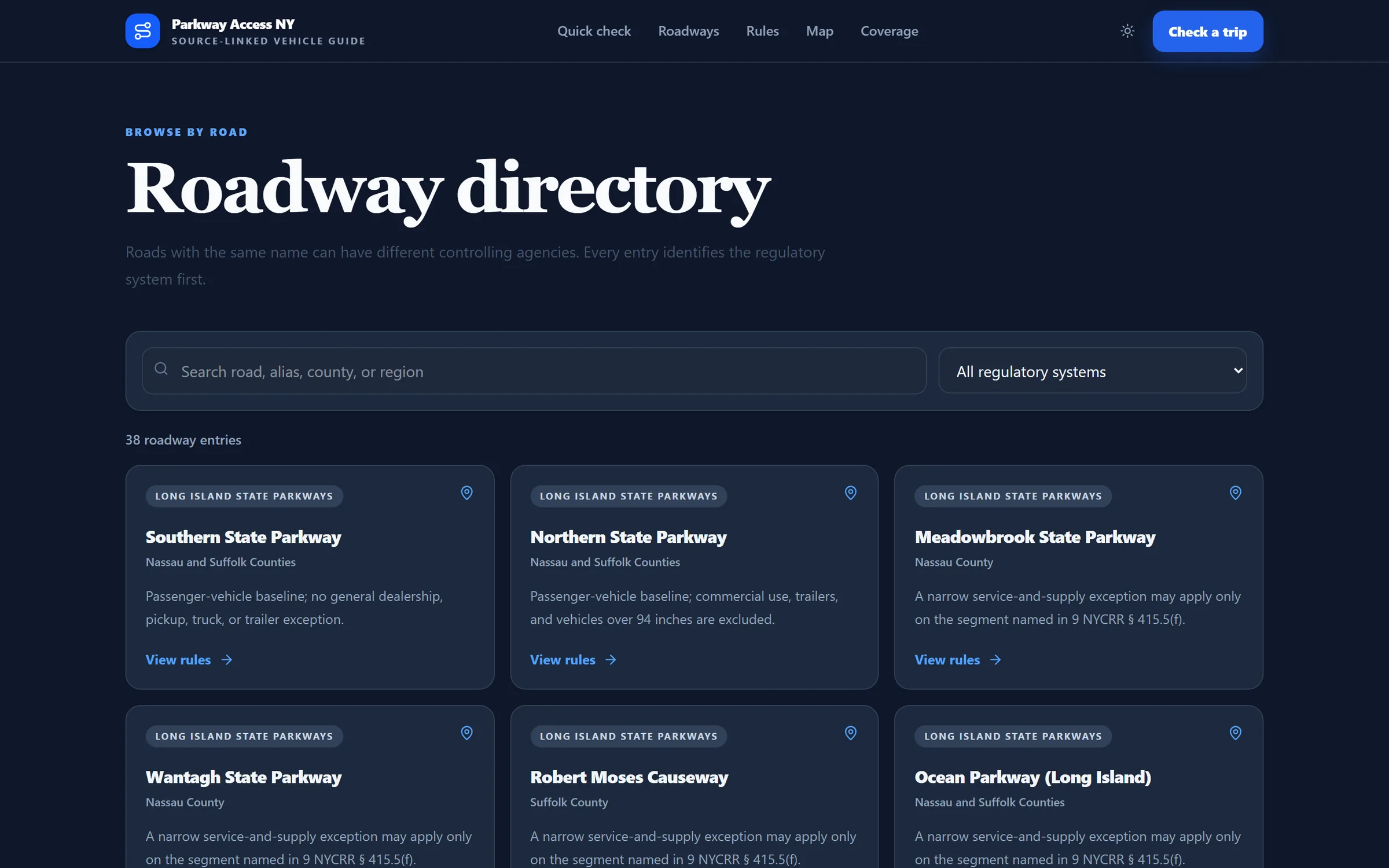
05Segment-level precision
Rules that apply to one stretch of one parkway are modeled as such, not generalized.
06Regimes on a map
Eight regulatory regimes drawn with MapLibre over open tiles.
Under the hood
How it’s made.
- ApplicationNext.js 16 App Router, React 19, TypeScript, Tailwind 4
- EngineDeterministic, typed rule engine kept separate from the interface, ready to move to a database
- MapsMapLibre GL with react-map-gl and OpenFreeMap tiles
- QualityRegression and source-integrity tests over every rule and citation
Stack: Next.js 16 · React 19 · TypeScript · Tailwind 4 · MapLibre GL · Vitest
Stills
From the set.